Adjara
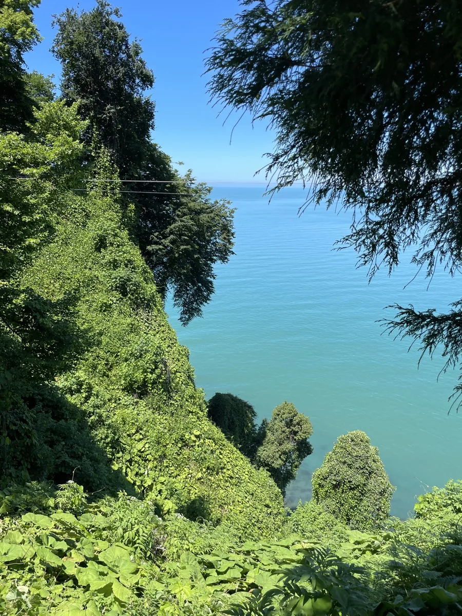
An autonomous republic in the south-west; subtropics, the resort city of Batumi, the boat-shaped Adjaruli khachapuri.
Adjara occupies the country's subtropical south-west on the border with Turkey, from the beaches and skyscrapers of Batumi to the mountain passes of Khulo and Goderdzi. Its capital and largest city, Batumi, is Georgia's second-largest city and its main Black Sea resort.
The Adjarians are an ethnographic group of Georgians, some of whom adopted Islam during the centuries of Ottoman rule; today Orthodox and Muslim communities live side by side in the region, and both faiths' shrines survive in the mountain villages of Upper Adjara.
The humid subtropical coast contrasts with the mountainous interior: Mtirala National Park is one of the rainiest places in the Caucasus, while highland villages still live by herding and orcharding much as they did centuries ago.
Adjaran dress is one of the most recognisable in Georgia, shaped by mountain life. The men's ensemble was a shirt (perangi), trousers (dzigva) of black satin narrowing towards the ankle, a winter quilted zubuni or a summer black-satin vest (elegi), and over it the chokha (chakura), with sleeves to the elbow and a broad patterned belt.
Women's dress included a long blue or red perangi shirt, ruby-coloured cotton sharvali trousers narrowing at the ankle, an orange zubun paragi worn over it, and a woollen apron (peshtemali). The head was covered with a lechaki scarf, over which a second scarf hid part of the face.
Essential elements of the men's costume were a dagger, a kabalakhi (thin wool hood) and knitted woollen socks with soft leather pachula shoes, gear suited to the mountains and field work.
What to see
- Mtirala National ParkMtirala National Park was created in 2006 in the mountains above Batumi and covers about 280 square kilometres. Its name means crying: some 4,500 millimetres of rain fall here each year, making it one of the wettest places in the former Soviet Union. The slopes are clothed in Colchic rainforest, a relic of the pre-glacial era: sweet chestnut and Oriental beech with an understorey of Pontic rhododendron, cherry laurel and box, wound about with lianas. Brown bears, roe deer and wild boar live in the forests, and in autumn one of the world's main raptor migration corridors passes over the coast, more than a million birds of thirty-five species. Since 2021 the park has been part of the UNESCO World Heritage site Colchic Rainforests and Wetlands. Trails lead to waterfalls and a lake.
- Batumi Botanical GardenThe garden spreads over the Green Cape, Mtsvane Kontskhi, nine kilometres north of Batumi, descending to the sea in terraces. It was laid out by the Russian botanist Andrey Krasnov and opened on 3 November 1912; Krasnov died in 1914 and is buried here, and his statue stands in the garden. Across a hundred and eight hectares grow more than two thousand species and varieties of trees and shrubs, arranged by geographical sections: the humid subtropics of the Caucasus, East Asia, the Himalayas, New Zealand, South and Central America, Australia and the Mediterranean. The humid climate of the Adjarian coast lets them grow side by side in the open air, and from the upper paths open sea panoramas that draw visitors as much as the plants do.
- Batumi PiazzaPiazza is a small square in the old centre of Batumi, opened in 2010. It was designed by the Georgian architect Vazha Orbeladze, who took Italian squares as his model, above all St Mark's in Venice. The square is enclosed on every side by Renaissance-style façades with balconies and arches, above which rises a clock tower; every hour the chimes play a melody, and from noon onwards, every three hours, moving figures come out to the ringing of bells. The stained glass was made by the Estonian artist Dolores Hoffman, and the marble mosaic of sea deities and mermaids was designed by Natalia Amirejibi de Pita; it is said to be one of the largest in Europe. On summer evenings concerts are held and cafés are open, and the square has become one of the symbols of the new Batumi.
- Makhuntseti Bridge and WaterfallThe village of Makhuntseti lies in the gorge of the Adjaristskali river, about forty kilometres from Batumi on the road into mountain Adjara. Here the highest and most picturesque waterfall in Adjara drops from a rock ledge; its height is given variously, most often as about thirty-six metres. A few hundred metres from the waterfall a 12th-century stone arch bridge spans the river, known locally as Queen Tamar's Bridge: almost thirty metres long and about six high, without railings, it has stood for eight centuries, and in summer local boys jump from it into the water. Roadside cafés and wine cellars operate nearby, and Makhuntseti has become the first stop for almost everyone driving from Batumi into the mountains.
- Gonio Fortress (Apsaros)The fortress stands at the mouth of the Chorokhi, fifteen kilometres south of Batumi and four from the Turkish border. In antiquity the town was called Apsaros, and its name was linked to the myth of Medea and her brother Apsyrtus. Pliny the Elder is the first to mention it in the 1st century, and by the 2nd century it was a well-fortified Roman town in Colchis, with a theatre and a hippodrome. The rectangle of walls with four gates was held by twenty-two towers, eighteen of which still stand. The name Gonio first appears in the 14th-century Trebizond chronicler Michael Panaretos; from 1547 the fortress belonged to the Ottomans and passed to Russia under the Treaty of San Stefano in 1878. Tradition holds that the Apostle Matthias is buried within the walls, but excavating the supposed grave is forbidden.